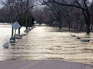
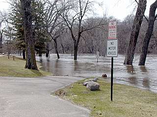
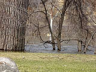
The left photo was taken looking into Sibley Park from the road 4/16/01.
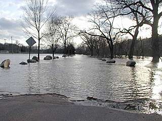
The right photo was taken looking into SIbley Park from the road 4/15/01.
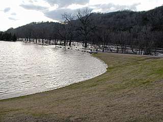
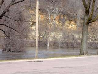
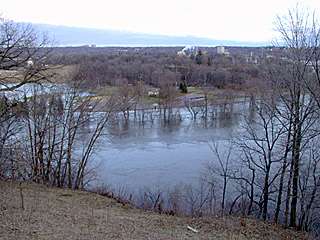
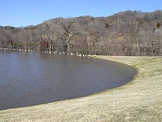
The left photo was taken overlooking Sibley Park from near the water treatment plant 4/15/01.
The right photo was taken looking into Sibley Park from the road,
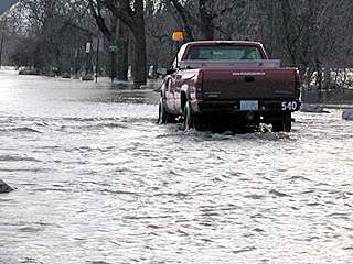
a city vehicle forges through the water at almost axle depth 4/15/01.
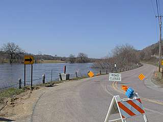
The left photo was taken looking towards Sibley Park, from the Hwy 169 bridge in LeHillier 4/14/01.
The right photo was taken looking from the Sibley Park road, across to the Judson Bottom road, 4/14/01.
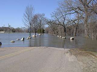
The left photo was taken looking southerly from the dike on the south end of Sibley, across to Land of Memories park 4/14/01.
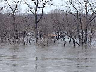
The right photo was taken looking into Sibley Park and across the boat landing, from the south end 4/14/01.
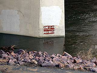
The left photo was taken looking southerly, back across the boat landing 4/14/01.
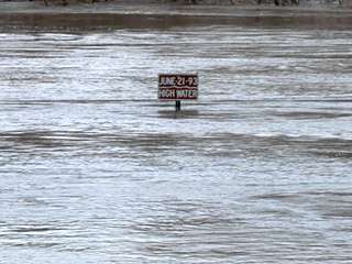
The right photo was taken looking out into the Blue Earth River, note the high water sign from 1993 4/14/01.
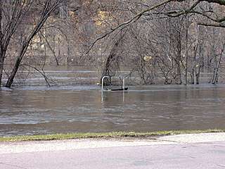
The left photo was taken looking out into the merging rivers, a 2 person swing stands submerged 4/14/01.
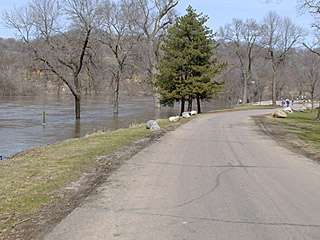
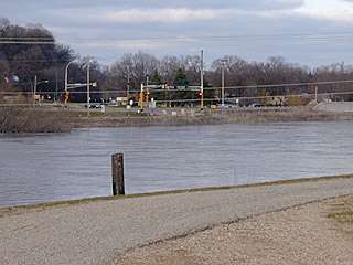
The right photo was taken looking out into the Minnesota River, water is inches from flooding the road 4/14/01.
The left photo was taken looking out into the Minnesota River, the Judson Bottom Road is in the background 4/14/01.
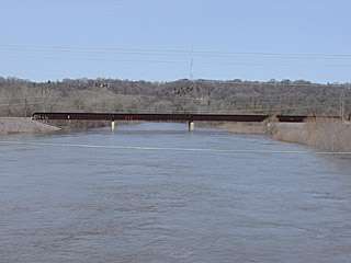
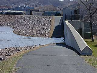
The right photo was taken looking out into the Minnesota River from the Dike near North Star Concrete (now Hanson Cement),
notice the 1993 high water marker on the North Star bridge 4/16/01.
The left photo was taken looking across the river, from Sibley Park,
to the Lookout Drive and Lee Boulevard intersection 4/15/01.
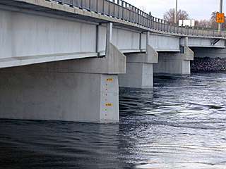
The right photo was taken looking out into the Minnesota River from the Dike near North Star Concrete (now Hanson Cement),
notice the water depth markers on the North Star bridge, up 2 feet from 4/14/01 judging by some other photos of mine 4/16/01.
The left photo was taken overlooking Sibley Park from near the water treatment plant 4/16/01.
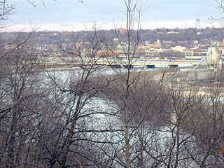
The right photo was taken overlooking the merging of the 2 rivers, from Lookout Drive 4/16/01.
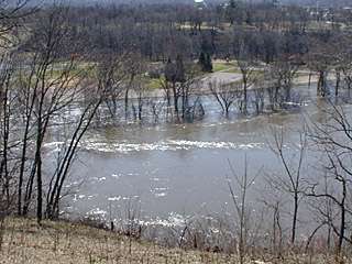
The left photo was taken looking down river from Lookout Drive 4/16/01.
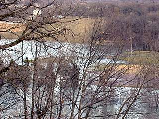
The right photo was taken overlooking the ball diamonds from Lookout Drive 4/16/01.
The left photo was taken overlooking the main parking lot of Sibley Park from Lookout Drive 4/17/01.
The right photo was taken looking across the river from the Judson Bottom Road turn off at Lee Boulevard 4/17/01.
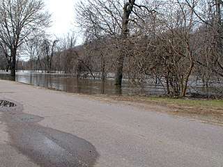
The left photo was taken looking into Sibley Park from the road 4/17/01.
The right photo was taken overlooking Sibley Park from near the water treatment plant 4/17/01.
The left photo was taken behind North Star (Hanson) Concrete, water overcomes the trail in a low spot 4/17/01.
The right photo was taken looking up river from the same spot on the trail behind North Star (Hanson) Concrete 4/17/01.