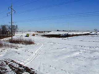
They have continued to prepare John P's old place for commercial use.
They are bringing the level of it down to the new street level.
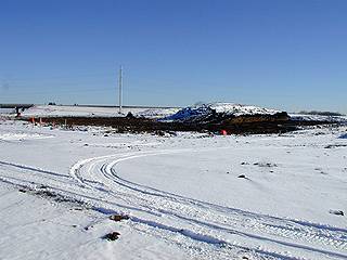
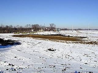
The left photo was taken looking Northeast across what will be the intersection to John P's lot
Taken from street level of what will be Victory Drive.
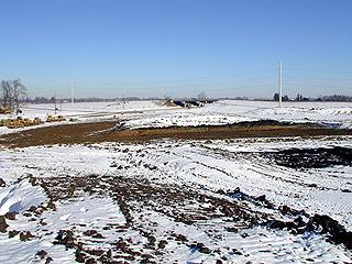
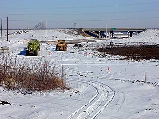
The right photo was taken looking Northeast from atop a huge mound of dirt where Newman's (Brunmeier's) used to be.
Off to the left you can see what they've brought the grade down to, compared to further to the right.
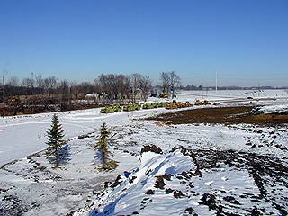
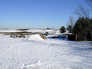
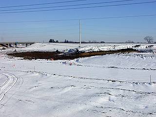
The left photo was taken looking North from the same said mound of dirt.
The right photo was taken looking Northwest from the same mound.
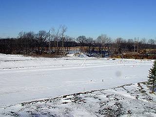
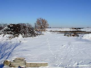
The left photo was taken looking North up what used to be Ivy Lane, from what used to be Bundy's (Mitchell's.)
The right photo was taken looking Northeast across what used to be Roy's - taken from the same point.
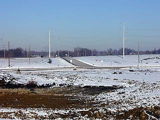
The left photo was taken looking Northerly from a mound of dirt just east of Roy's lot.
The right photo was taken looking North, zoomed up from the same point in the field.
The Eastbound downramp is in the middle-ground.
The left photo was taken looking Northeast from Kearney's field - West end of the area.
The right photo was taken looking Northeast, same point, zoomed up and to the left.
This photo was taken looking Northeast, same point, zoomed up and to the right.